On the Trail of the Giant Calderas

Old Faithful Geyser
Old Faithful Geyser

Before it was something for humans to worry about , the North American Continent was wracked by huge volcanic eruptions the like of which humans have never seen. Those who travel to Yellowstone National Park observe the eroded remnants of these calamitous explosions which form the Yellowstone Caldera.

Yellowstone NP is the youngest of a string of calderas stretching from Oregon to Wyoming. One theory is that about 17 million years ago a meteor plunged through the earth’s crust into the underlying mantle which released the pressure below and a massive eruption followed.

The question is then, how come there is a caldera at

Yellowstone Cliffs
Yellowstone Cliffs

Yellowstone in Wyoming, when the hotspot was created in Oregon? Well,the answer is a bit confusing. The hotspot never moved. It’s still where it was created 17 million years ago. Instead Yellowstone NP is now sitting over the hotspot because the crust of Central North America is slipping southwest at about 2” each year, so 17 million years later, Wyoming is sitting where the old Oregon would have been.

Fossil Stump in Yellowstone NP

There are other theories, but I like this one. Now, on the crustal journey southwest as the crust moved across the hotspot the eruptions would cease for a time, and then pop up sort of like a cutting torch punching through steel, and then there would be another huge eruption and another caldera. There is a chain of the calderas running northeast across the country from Oregon to Wyoming.

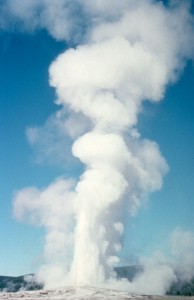
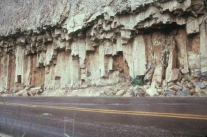
These eruptions are so severe because the eruption releases rhyolite magma. Rhyolite

Water Fall Near Yellowstone NP

magma has the ability to absorb huge quantities of water which remain absorbed so long as the pressure is kept on the top. Release the pressure by cutting through the crust and the steam expands in a massive explosion carrying magma and anything else in the way to the surface. Great clouds of hot rock move across the landscape in great pyroclastic flows that weld together forming tremendous cliffs of soft rock.

Large Cinder Cone
Large Cinder Cone

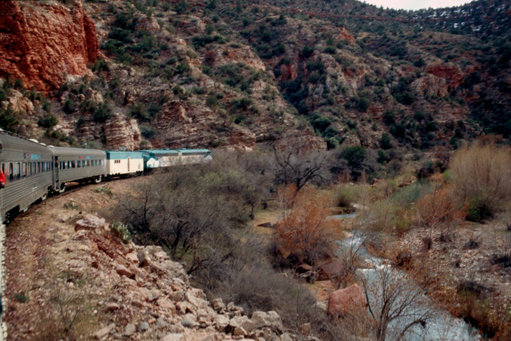
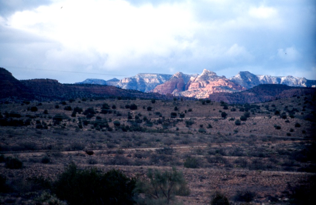
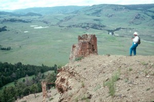
When you travel in Yellowstone NP some of the great cliffs are the result of these cooling pyroclastic flows. If you try to follow the trail of the calderas you will find it difficult to see much. Erosion has done its work and many of the old calderas are flattened. Highways pass right through the Rexburg Caldera but you’d not know it was there.

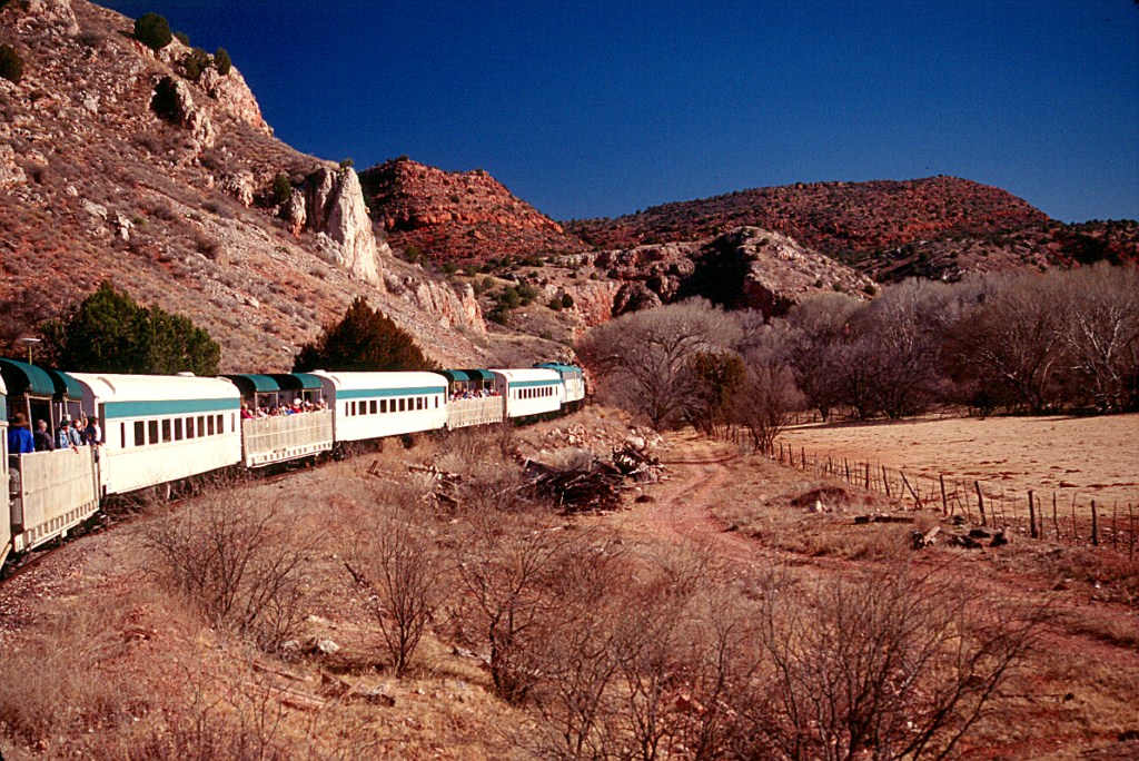
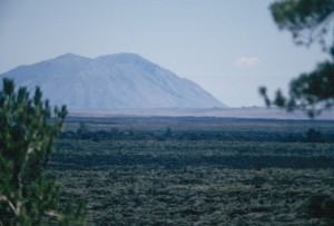
Your drive is made interesting by secondary eruptions that have occurred across these plains and have spewed out a very liquid black basalt lava which has created

Lava Beds of Craters of the Moon NM

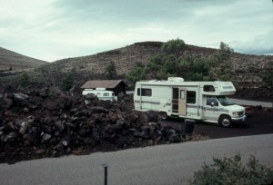
very interesting lava beds, and nearby there may be cinder cones from which the lava often flowed. Craters of the Moon National Monument has preserved many of these lava flows and has good examples of cinder cones.

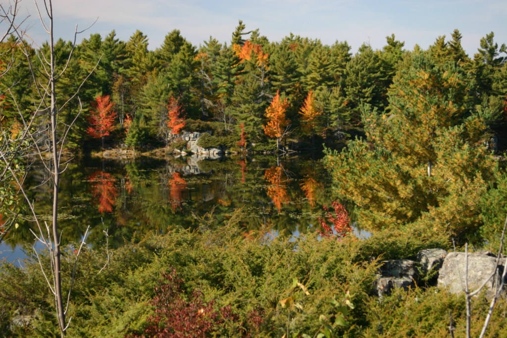
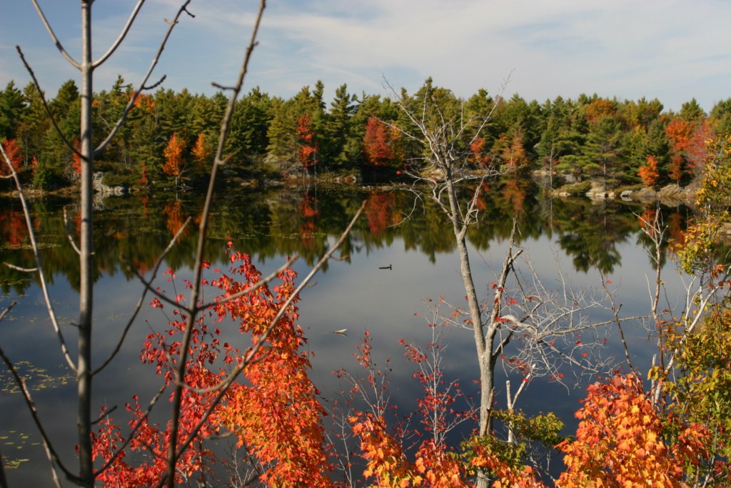
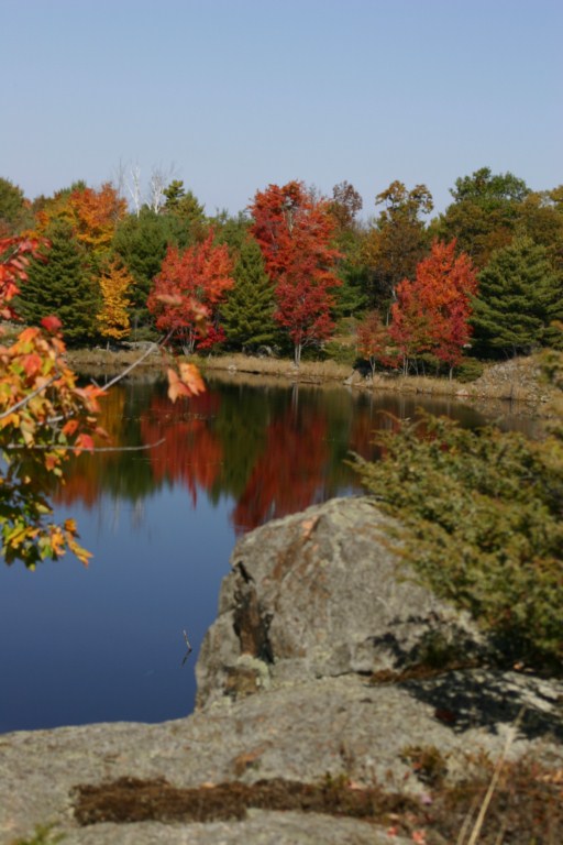
Whether at Yellowstone National Park, or areas farther west you will find interesting scenery, and great camping. Take some time and explore.

You can find more information and maps showing some of these features in my scenic tours book, “The Lure of Pine and Sage”, which is available as a download from my website, www.stonesstravelguides.com

The Frontenac Axis of Eastern Ontario

Random acts of geology create some of our most scenic landscapes. In Eastern Ontario there are over 1000 islands in the midst of the St. Lawrence River.

Canadian Shield pond
Typical Pond in the Frontenac Axis

Thousands of tourists flock there for a boat ride through this scenic region, and hundreds of people happily shell out King’s ransoms to own a bit of the rock.


The islands are the happy result of the Frontenac Axis, which is an extension of the Canadian Shield across the river. The Canadian Shield is the oldest rock in North America. This was the first rock that rose above the ocean’s surface about two billion years ago and has risen and fallen, been bent and folded, and eroded.

Autumn in the Canadian Shield

Then it was eroded severely after being weighted down by massive ice continental glaciers which scraped and gouged it leaving a vast pockmarked land across much of Canada. The Thousand Islands are just the little bits of some of the humps that are left sticking up through the waters of the St. Lawrence River.


The Canadian Shield covers much of Canada from the Atlantic Ocean west to a line that runs northwest through the prairies to the Arctic Ocean. It is a land of thin soils, swamps and lakes that resulted from basins gouged out by the glaciers. The rock of granite and metamorphic varieties that compose the Shield is mostly resistant to water erosion and until streams can carve deep channels we will continue to have forested rugged land with scattered lakes, rivers, and swamps. It’s hard to imagine that before the attacks of the glaciers the Canadian Shield was the scene of very high mountains, now reduced to a lowland, yet still requiring deep road cuts to make travel easier.

Autumn Leaves on a Pond

In lower Eastern Ontario the rather sedate topography of the limestone plain ceases abruptly east of Kingston when you enter the Frontenac Axis. Suddenly the traveller enters a region of road cuts, beaver ponds, and random after thoughts of little farms. Here is a land of small and large lakes often encircled by granite or other hard rock cliffs. Small dams plugged rivers and streams to power water mills that ran sawmills, and ground grain for the farmer. These things are the very essence of that which attracts people to visit and camp in the area.

Canadian Shield Scenery

The Frontenac Axis connects the main body of the Canadian Shield across the St. Lawrence River to the Adirondack Mountains of New York State. It’s possible that the hard resistant rock across the outlet from Lake Ontario is the reason why there is such a huge lake here today. The hard rock became a dam that prevented the glacier from gouging out the bottom of the lake further eastward. This helps hold back the waters of the lake. Without it, the St. Lawrence River might have reached much farther inland.

The Frontenac Axis has been an attractive feature in Ontario counties before the nation began. It’s the name that many of us learned in our little one room schools and it is called this by the Minister of Natural Resources of Ontario. Unfortunately, some groups and been trying to convert its name into the Frontenac Arch but hopefully it will be our Frontenac Axis forever.

For more than four decades James Stoness has travelled the roads of North America, photographing and writing about what he has seen. His travel articles and beautiful pictures have been published in several magazines and newspapers. He is also the author of five western novels.  Visit his website at:  www.stonesstravelguides.com

Riding the Rails to Perkinsville


Train buffs, as well as visitors just looking for a good time, will enjoy a trip on the Verde Canyon Train. Located in the hills of Arizona, south of the Grand Canyon, the train takes a leisurely 32 kilometre trip from Clarksdale to Perkinsville and back.

Verde Canyon Train

Clarkdale arose in 1911as the smelter town for the United Verde Copper Company that got its ore from the mines at nearby Jerome on the slopes of Mingus Mountain. To take the ore to markets investors built a railway from Clarkdale through the narrow canyon of the Verde River. As usually happens, the mine eventually closed, and also the smelter. Clarkdale began to die.

Now Clarkdale is kept alive by the Verde Canyon Train. The scenic train trip draws visitors from all over the world. And it’s no wonder. Although it’s a short trip, only a 64 kilometre round trip it’s packed with beauty. Once you leave the scars of the slag piles at the edge of town, it’s a pleasant rural ride. The greenish Verde River flows across the open valley floor to rush into the narrow confines of the canyon. Depending upon the angle of the sun, the walls of the canyon blaze in reds, pinks and golds. Along the river the green cottonwoods and other shrubs are resplendent with their backdrop of colourful cliffs.

Depp in Verde Canyon

The canyon is a well established area for seeing wildlife, especially birds. In the arid country around the canyon, wetlands are enjoyed by birds and animals alike. The winter months of December to March are prime bald and golden eagle months. The train crew is quick to point out the locations of these big birds roosting in the trees or higher up on the cliff sides.

Verde Canyon's Sun Tipped Cliffs

The railroad was built with great difficulty, requiring a 207 metre tunnel to cut into the cliff where the river allowed no room for the track. Many side streams required culverts or short trestles. It’s the proximity to the river that really adds to the enjoyment of the trip. Dashing in places, and tranquil in others, the river is the source of water for the plants that grow along it, and for the many birds that flock to the brush and trees for hiding places and for their nests. Deer and antelope come down from the hills for a drink. They are not much frightened by the train and are often seen by the passengers.

It’s probably best if you sit on the right side of the train as you leave the station. This will give you views across the river to the cliffs beyond, and some very spectacular views of the Sedona red rocks to the east. It’s also easier to spot the bald eagles.

The engines switch ends of the train at the old community of Perkinsville. If you take a

A Visit to Perkinsville

jeep you can visit Perkinsville by taking a rough road out of Jerome. The train is the best way to see the inner part of the Verde Canyon.

There are several different types of train trips and you might enjoy the Grape Train Escape on an evening trip into the canyon.

It is unfortunate that this tour never uses steam locomotives. It’s a perfect location for the wail of the steam engine, and the chuff chuff of a hard working locomotive as it climbs along the river. Apart from that, this is a great trip, as attested to by the thousands of passengers a year that enjoy a relaxing 4 hours doing nothing but looking and savouring nature in the wild.

A Great Western Music Show at the Blazin'M

After a terrific day why not stop at Cottonwood and visit the Blazin’n M Chuckwagon Ranch for a scrumptious supper followed by the best live Western music in town.

Happy RVing !

This is one of the tours in ‘Cactus and Canyons’ a Touring North America guide book)

For more than four decades James Stoness has travelled the roads of North America, photographing and writing about what he has seen. His travel articles and beautiful pictures have been published in several magazines and newspapers. He is also the author of five western novels.  Visit his website at:  www.stonesstravelguides.com