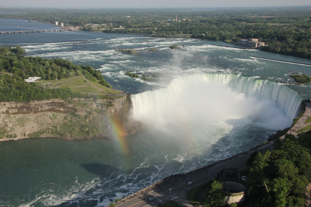
Random acts of geology create some of our most scenic landscapes. In Eastern Ontario there are over 1000 islands in the midst of the St. Lawrence River.

Thousands of tourists flock there for a boat ride through this scenic region, and hundreds of people happily shell out King’s ransoms to own a bit of the rock.
The islands are the happy result of the Frontenac Axis, which is an extension of the Canadian Shield across the river. The Canadian Shield is the oldest rock in North America. This was the first rock that rose above the ocean’s surface about two billion years ago and has risen and fallen, been bent and folded, and eroded.
Then it was eroded severely after being weighted down by massive ice continental glaciers which scraped and gouged it leaving a vast pockmarked land across much of Canada. The Thousand Islands are just the little bits of some of the humps that are left sticking up through the waters of the St. Lawrence River.
The Canadian Shield covers much of Canada from the Atlantic Ocean west to a line that runs northwest through the prairies to the Arctic Ocean. It is a land of thin soils, swamps and lakes that resulted from basins gouged out by the glaciers. The rock of granite and metamorphic varieties that compose the Shield is mostly resistant to water erosion and until streams can carve deep channels we will continue to have forested rugged land with scattered lakes, rivers, and swamps. It’s hard to imagine that before the attacks of the glaciers the Canadian Shield was the scene of very high mountains, now reduced to a lowland, yet still requiring deep road cuts to make travel easier.
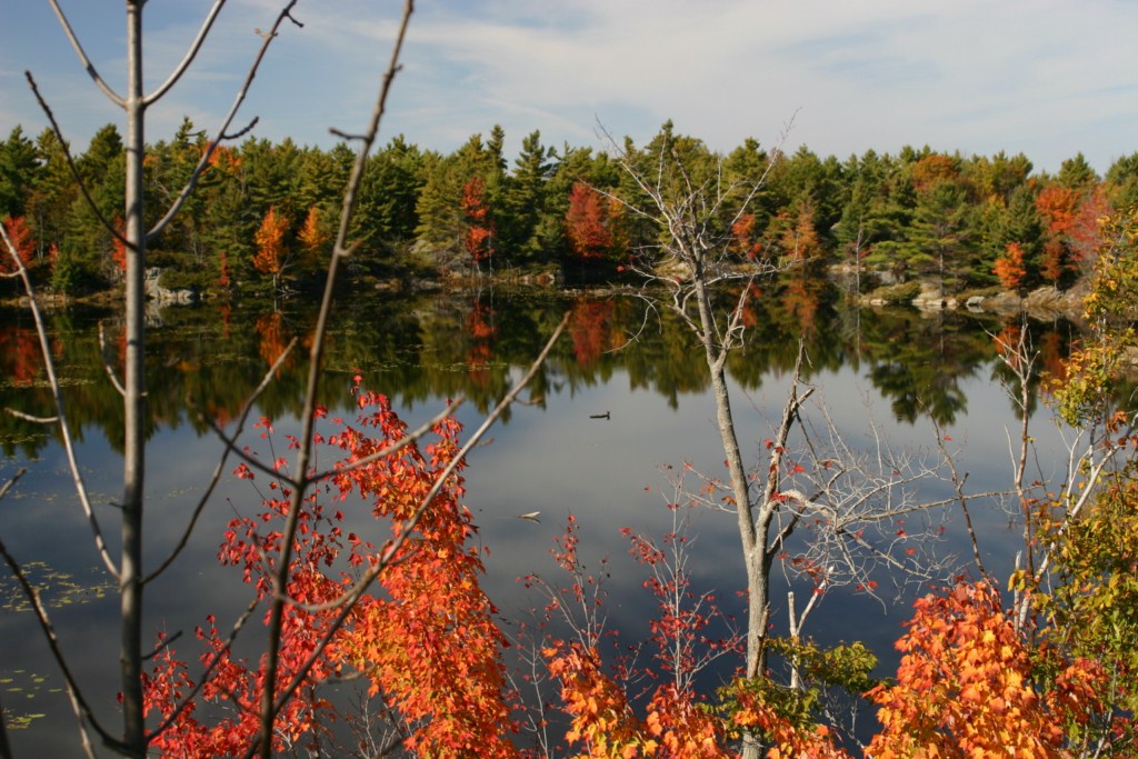
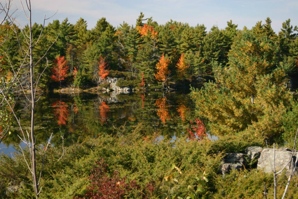
In lower Eastern Ontario the rather sedate topography of the limestone plain ceases abruptly east of Kingston when you enter the Frontenac Axis. Suddenly the traveller enters a region of road cuts, beaver ponds, and random after thoughts of little farms. Here is a land of small and large lakes often encircled by granite or other hard rock cliffs. Small dams plugged rivers and streams to power water mills that ran sawmills, and ground grain for the farmer. These things are the very essence of that which attracts people to visit and camp in the area.
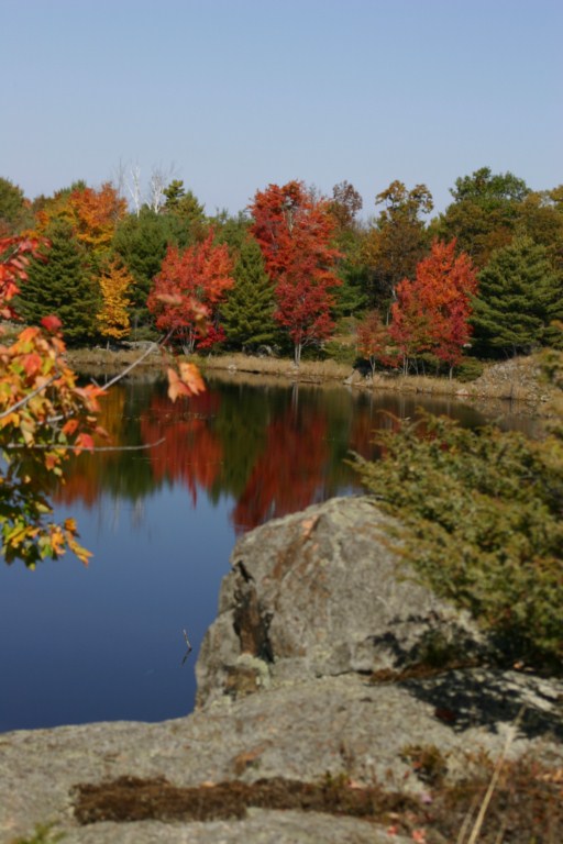
The Frontenac Axis connects the main body of the Canadian Shield across the St. Lawrence River to the Adirondack Mountains of New York State. It’s possible that the hard resistant rock across the outlet from Lake Ontario is the reason why there is such a huge lake here today. The hard rock became a dam that prevented the glacier from gouging out the bottom of the lake further eastward. This helps hold back the waters of the lake. Without it, the St. Lawrence River might have reached much farther inland.
The Frontenac Axis has been an attractive feature in Ontario counties before the nation began. It’s the name that many of us learned in our little one room schools and it is called this by the Minister of Natural Resources of Ontario. Unfortunately, some groups and been trying to convert its name into the Frontenac Arch but hopefully it will be our Frontenac Axis forever.
For more than four decades James Stoness has travelled the roads of North America, photographing and writing about what he has seen. His travel articles and beautiful pictures have been published in several magazines and newspapers. He is also the author of five western novels. Visit his website at: www.stonesstravelguides.com