Do you have the urge to visit a remote area where human presence is a rarity? I suggest taking a drive to the North West Territories and visit the Mackenzie River?
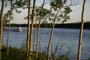
The Mackenzie River is the longest river system in North America that flows north to the Arctic Ocean. It was named after the explorer Alexander Mackenzie. The natives call it Deh Cho.
Mackenzie arrived at Lake Athabasca to replace Peter Pond, one of the partners of the North West Company. The North West Company was an immense fur trading company based out of Montreal. Peter Pond was from below the border and had already drawn and sent a map of the area the US government, an event that made him a great concern to the authorities in Canada.
He was suspected of murder, although not proven, and after a second death where he might have been involved, it meant it was time for him to go. He would be replaced by a kinder and gentler person, young Alexander Mackenzie.
In 1789, working on the rumour that a great river flowed northwest, he headed an expedition to go down the river and to find the Pacific Ocean at the end. In doing so he would have discovered the North West Passage, a short cut to the Pacific Ocean that so far had eluded all searches.
Mackenzie headed down the great river but it wasn’t too many days before he realized it was heading north, and would never hit the Pacific Ocean. He named the water, the River of Disappointment. His progress along the river was fantastic taking only a couple of weeks to reach the mouth of the river. The return trip was hard, all uphill and battling the current yet he returned to the beginning point of his trip in only 102 days after having paddled over 4800 kilometres.
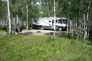
If you travel to Yellowknife, North America’s diamond capital, you will cross the Mackenzie River on a ferry, although a bridge is nearly completed. There is an excellent campground on the east side. It’s quiet, and the broad Mackenzie River whispers and gurgles as it tussles and pulls at the embankment. What a place this must have been before people arrived! This is likely the best place to stop and feel the emptiness of the river. It has a haunting whisper that begs you to follow it.
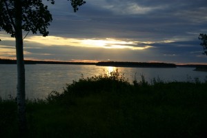
Farther north on the Mackenzie Highway you can turn off for a drive into Ft. Simpson which is on the banks of the river. A winter ice road runs north many miles but eventually comes to an area where the river crosses the Arctic Circle and is all alone with the wilderness for a long, long ways.
The next road crossing of the river is 57 kilometres east of Fort McPherson on the Dempster Highway at Tsiigehtchic, and a few thousand kilometres north of Ft. Simpson.
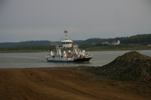
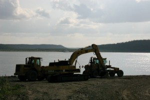
This is a ferry crossing and the approach to the ferry is sometimes muddy, but heavy machinery is nearby to pull you through. This is a dream drive but some people wouldn’t like 756 kilometres of gravel, mostly through empty country. Yet, the scenery is matchless, the road winding up and down and back and forth brings a new view at every turn.
So, if you are feeling adventurous, load up
the RV and head northwest. It can’t be beat!
For more than four decades James Stoness has travelled the roads of North America, photographing and writing about what he has seen. His travel articles and beautiful pictures have been published in several magazines and newspapers. He is also the author of five western novels. Visit his website at: www.stonesstravelguides.com
